 Mt Waterman
 Loveland Ski Area
 Southeast
 WebCams
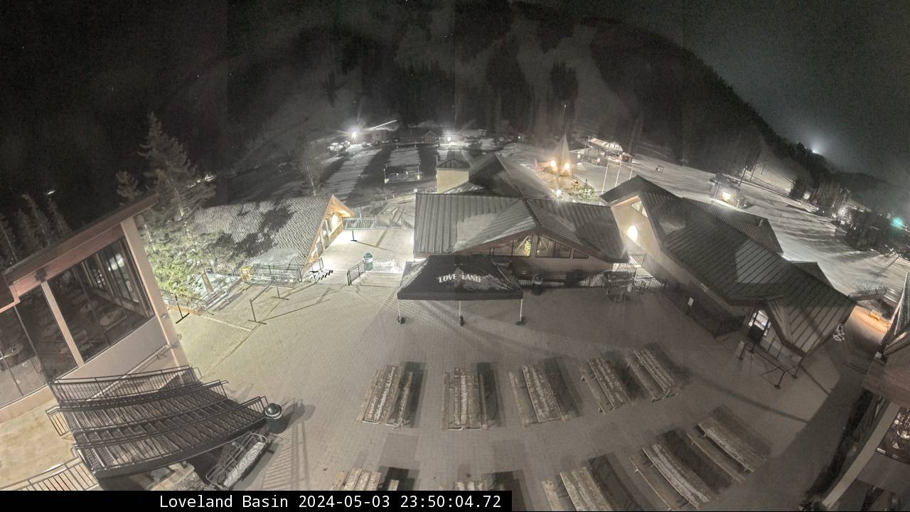
Loveland Basin
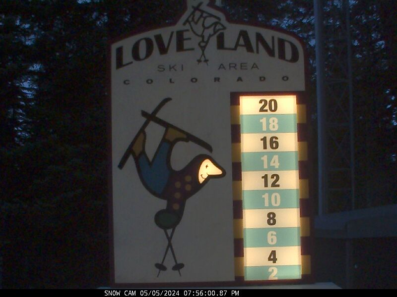
Snow Stake Cam
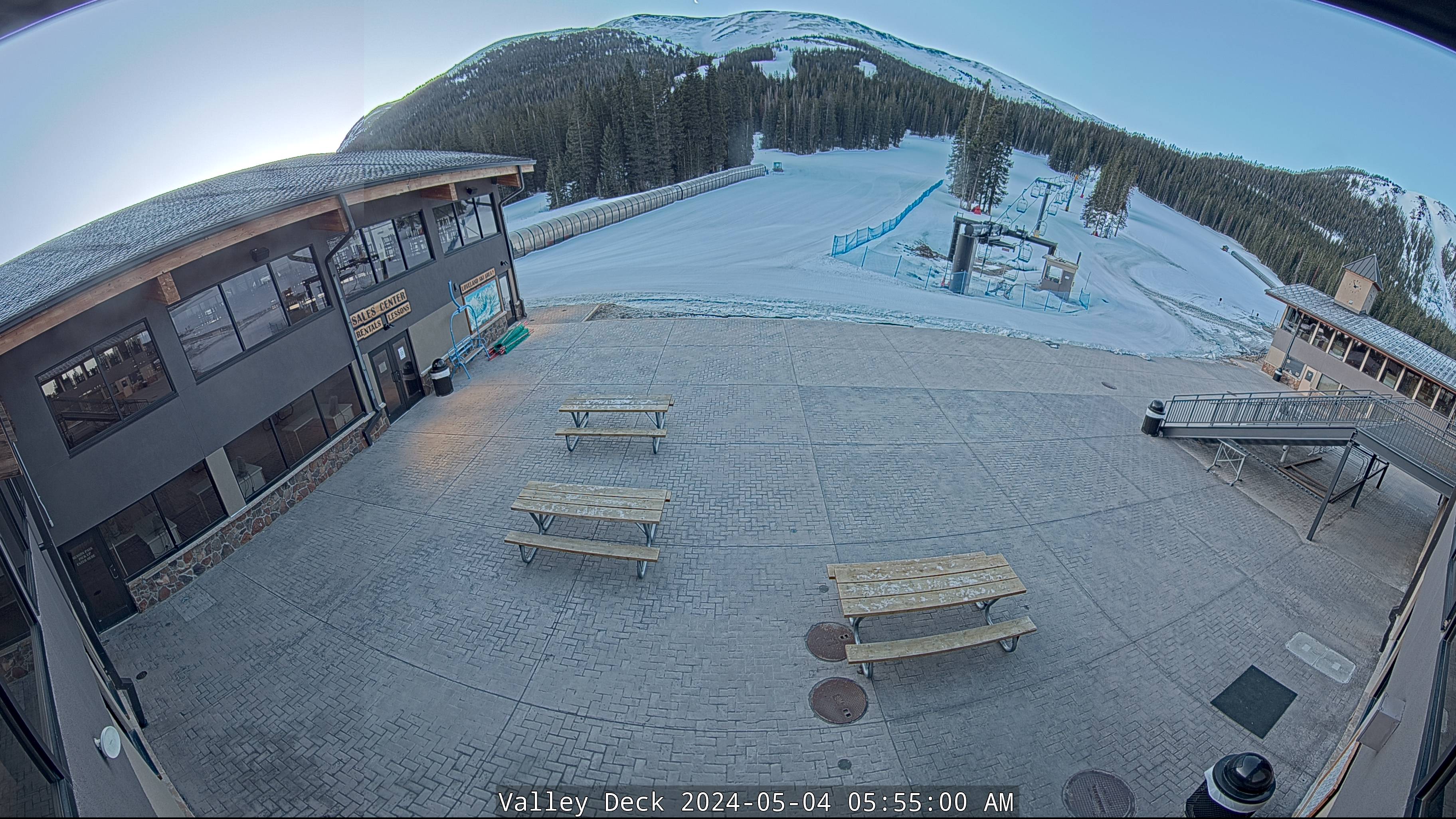
Valley
MONDAY
Jun 30

62° / 41°

9 - 17
mph
 0
0
TUESDAY
Jul 1

63° / 47°

7 - 15
mph
0
WEDNESDAY
Jul 2
64° / 46°
9 - 17
mph
0
THURSDAY
Jul 3
54° / 42°
6 - 14
mph
0
FRIDAY
Jul 4

60° / 47°
14 - 25
mph
0
SATURDAY
Jul 5
64° / 48°
10 - 18
mph
0
SUNDAY
Jul 6
64° / 51°
9 - 17
mph
0
Mostly cloudy becoming partly cloudy at times continuing through overnight, with periods of rain expected in the morning through afternoon.
No snow.
Potential Precip:
0.09 to 0.46
Hi: 62°Low: 41°
13,861 feet to 15722 feet
Winds SE at 9 to 17 mph through the day, becoming variable at 5 to 13 mph overnight.
Partly cloudy becoming mostly clear at times continuing through overnight. Periods of rain are expected in the morning through afternoon.
No snow.
Potential Precip:
0.03 to 0.14
Hi: 63°Low: 47°
15,527 feet to 16008 feet
Winds SE at 9 to 17 mph in the morning, becoming SE at 7 to 15 mph in the afternoon, and then variable at 5 to 13 mph overnight.
Partly cloudy becoming clear at times and then partly cloudy overnight. Periods of rain are expected overnight.
No snow.
Potential Precip:
0 to 0.02
Hi: 64°Low: 46°
14,895 feet to 16206 feet
Winds SE at 13 to 24 mph in the morning, becoming S at 9 to 17 mph in the afternoon, and then variable at 5 to 12 mph overnight.
Cloudy becoming partly cloudy in the evening continuing through overnight, with periods of rain expected in the morning through overnight.
No snow.
Potential Precip:
0.19 to 0.94
Hi: 54°Low: 42°
13,518 feet to 15082 feet
Winds variable at 5 to 13 mph in the morning, becoming NW at 6 to 14 mph in the afternoon, and then W at 10 to 18 mph overnight.
Partly cloudy becoming mostly clear at times continuing through overnight.
No snow.
Potential Precip:
0 to 0.01
Hi: 60°Low: 47°
14,796 feet to 15426 feet
Winds W at 14 to 25 mph with gusts to 33 through the day, becoming variable at 5 to 13 mph overnight.
Partly cloudy becoming clear in the evening continuing through overnight.
No snow.
Potential Precip:
0 to 0.01
Hi: 64°Low: 48°
14,738 feet to 16188 feet
Winds variable at 10 to 18 mph through the day, becoming SW at 10 to 18 mph overnight.
Partly cloudy becoming mostly clear in the late morning and then partly cloudy overnight.
No snow.
Potential Precip:
0 to 0.01
Hi: 64°Low: 51°
15,188 feet to 16220 feet
Winds variable at 9 to 17 mph through the day, becoming variable at 5 to 13 mph overnight.
 Sunrise & Sunset

Lunar Calendar


 Snow Maps and Weather Stations in the Area
 ![]() 7in, past 6 days. Snow surface is packed powder and powder
7in, past 6 days. Snow surface is packed powder and powder
Snow report provided by SnoCountry
 Mid-Mountain


