flag for United States Badger Pass Ski Area
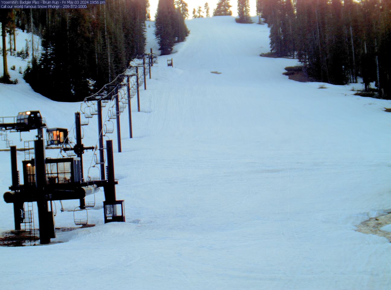
↑40° ↓37°
Forecast Snow: 1
Base Depth: 0"
  • 37°

  • mph
  • Humidity100%
  • Dewpoint37°
  • Visibilitymi
  • Elevation4,003ft
YOSEMITE VALLEY NEAR YOSEMITE VILLAGE 1NNW YYV, CA Updated Mar 29 @ 03:09
NO WEATHER WARNINGS
Yosemite Ski and Snowboard Area

Yosemite Ski and Snowboard Area

  • FRIDAY

    Mar 29

    Weather Icon

    40° / 37°

    5 - 13
    mph

    snow icon 1

  • SATURDAY

    Mar 30

    Weather Icon

    41° / 31°

    0 - 0
    mph

    snow icon 1

  • SUNDAY

    Mar 31

    Weather Icon

    47° / 31°

    4 - 12
    mph

    snow icon 0

  • MONDAY

    Apr 1

    Weather Icon

    51° / 33°

    4 - 12
    mph

    snow icon 0

  • TUESDAY

    Apr 2

    Weather Icon

    54° / 40°

    4 - 12
    mph

    snow icon 0

  • WEDNESDAY

    Apr 3

    Weather Icon

    54° / 41°

    5 - 12
    mph

    snow icon 0

    {FORECAST_DAY_SUMMARY_2_VAR}
  • Weather :

    Cloudy becoming mostly cloudy at times continuing through overnight, with periods of rain and snow expected overnight.

  • Snow :

    Light snow through the day and into overnight with periods of moderate during the day. Snowfall is forecast to be 1 to 2 during the day, and a trace amount in the evening and overnight.

  • Precipitation :

    Potential Precip:
    0.86 to 4.32

Temperature :

Hi: 40°Low: 37°

Snow Levels :

5,485 feet to 6219 feet

Wind :

Winds S at 7 to 15 mph in the morning, becoming variable at 5 to 13 mph in the afternoon, and then variable at 4 to 12 mph overnight.

Forecast Elevation: 3,993ft
  • Weather :

    Cloudy becoming mostly cloudy in the afternoon and then cloudy overnight. Periods of rain and snow are expected overnight.

  • Snow :

    Light snow through the day and into overnight. Snowfall is forecast to be a trace amount during the day, and a trace amount in the evening and overnight.

  • Precipitation :

    Potential Precip:
    0.14 to 0.71

Temperature :

Hi: 41°Low: 31°

Snow Levels :

3,715 feet to 6486 feet

Wind :

Winds variable at 5 to 13 mph in the morning, becoming calm in the afternoon, and then variable at 4 to 12 mph overnight.

Forecast Elevation: 3,993ft
  • Weather :

    Cloudy becoming mostly clear in the afternoon and then clear overnight.

  • Snow :

    Periods of light snow throughout the day. Snowfall is forecast to be a trace amount.

  • Precipitation :

    Potential Precip:
    0.08 to 0.38

Temperature :

Hi: 47°Low: 31°

Snow Levels :

3,793 feet to 7654 feet

Wind :

Winds variable at 4 to 12 mph throughout the day and into overnight.

Forecast Elevation: 3,993ft
  • Weather :

    Partly cloudy becoming clear in the afternoon continuing through overnight, with periods of rain expected in the morning.

  • Snow :

    No snow.

  • Precipitation :

    Potential Precip:
    0 to 0.02

Temperature :

Hi: 51°Low: 33°

Snow Levels :

4,800 feet to 11239 feet

Wind :

Winds variable at 4 to 12 mph through the day, becoming variable at 5 to 13 mph overnight.

Forecast Elevation: 3,993ft
  • Weather :

    Mostly clear becoming clear in the afternoon continuing through overnight, with periods of rain expected in the morning.

  • Snow :

    No snow.

  • Precipitation :

    Potential Precip:
    0 to 0.02

Temperature :

Hi: 54°Low: 40°

Snow Levels :

9,651 feet to 12361 feet

Wind :

Winds variable at 4 to 12 mph throughout the day and into overnight.

Forecast Elevation: 3,993ft
  • Weather :

    Partly cloudy becoming mostly cloudy in the late morning continuing through overnight, with periods of rain expected in the morning through overnight.

  • Snow :

    No snow.

  • Precipitation :

    Potential Precip:
    0.01 to 0.03

Temperature :

Hi: 54°Low: 41°

Snow Levels :

8,321 feet to 10717 feet

Wind :

Winds variable at 5 to 12 mph through the day, becoming variable at 5 to 13 mph overnight.

Forecast Elevation: 3,993ft
Sunrise
6:45 AM
Sunset
7:19 PM
First Light
6:19 AM
Midday
1:02 PM
Last Light
7:45 PM

Day length: 12h 34m

Lunar Calendar

Apr 8
New Moon
Apr 15
First Quarter
Apr 23
Full Moon
May 1
Last Quarter
pin icon Snow Maps and Weather Stations in the Area
Email To Friend

Snow report provided by SnoCountry

Snowforecast.com does not verify this data. Resorts are resonsible for any errors.

info iconCheck out snow maps
snow map image
CURRENT SNOW
DEPTH MAP


Snow Maps

Info for the hard-working snowmaking crew
Mid Mountain Wet Bulb Temperature (F)
Regional Soil Temperatures
Soil High Temperature 35°   |   Soil Low Temperature 35°
info iconLocation Info
  • CountryUnited States
  • StateCalifornia
  • CityMariposa
  • Snow Conditions209-372-1000
  • Reservations559-253-4848
  • Emailsmayer@delawarenorth.com
  • WebsiteVisit Our Website!
© Snowforecast.com 2018, All rights reserved.