 Mt Waterman
 Badger Pass Ski Area
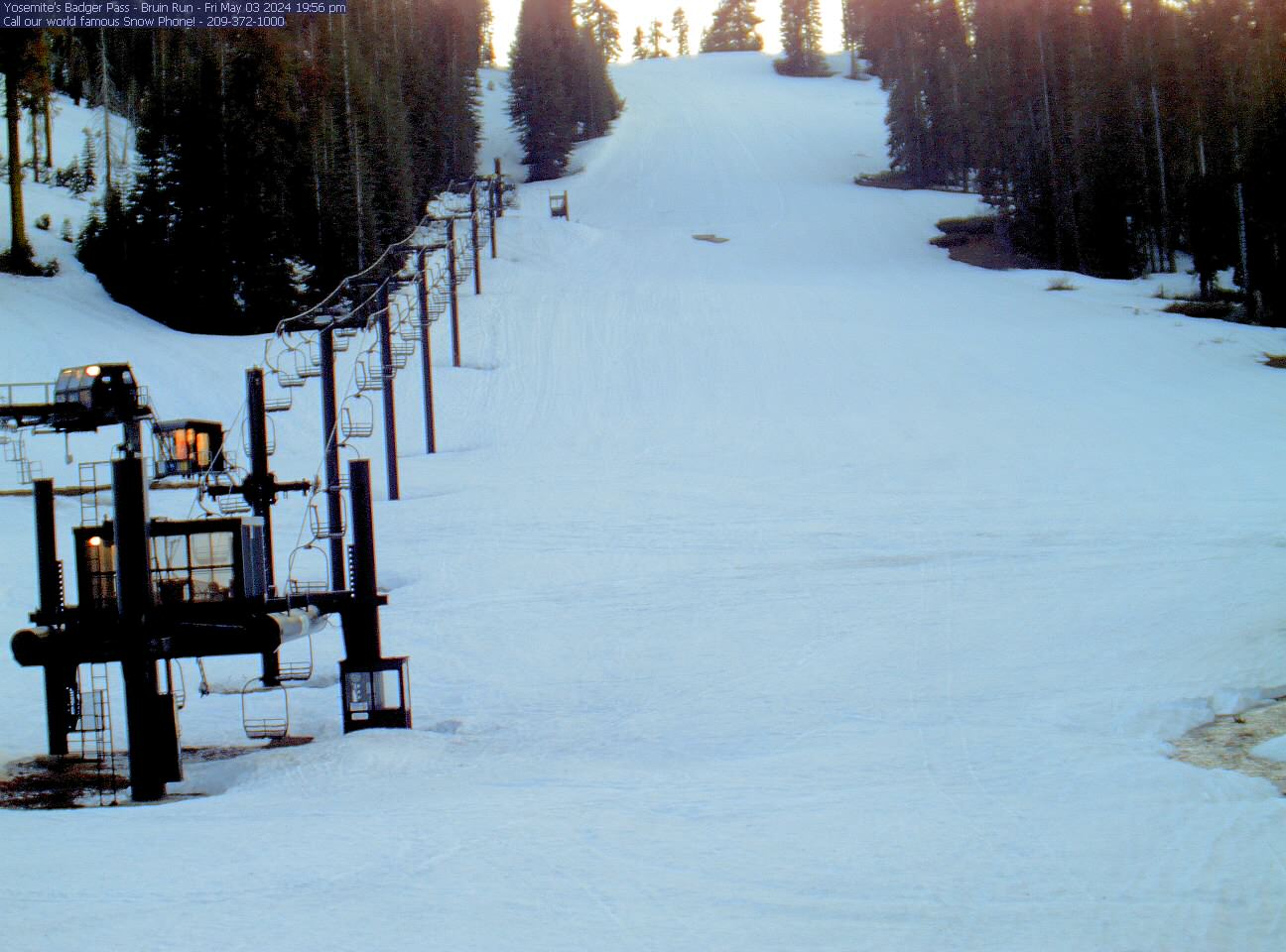

 WebCams
Yosemite Ski and Snowboard Area
SATURDAY
Aug 1

61° / 51°

4 - 11
mph
 0
0
SUNDAY
Aug 2

62° / 50°
5 - 13
mph
0
MONDAY
Aug 3
65° / 54°
5 - 13
mph
0
TUESDAY
Aug 4

67° / 58°
4 - 12
mph
0
WEDNESDAY
Aug 5
67° / 54°
4 - 12
mph
0
THURSDAY
Aug 6
56° / 43°
5 - 13
mph
0
FRIDAY
Aug 7
55° / 42°
4 - 12
mph
0
Partly cloudy becoming mostly cloudy in the afternoon and then partly cloudy overnight. Periods of rain are expected in the afternoon through overnight.
No snow.
Potential Precip:
0.05 to 0.23
Hi: 61°Low: 51°
10,096 feet to 10900 feet
Winds SW at 6 to 14 mph in the morning, becoming variable at 4 to 11 mph in the afternoon, and then variable at 5 to 12 mph overnight.
Partly cloudy becoming mostly clear in the afternoon continuing through overnight, with periods of rain expected in the morning.
No snow.
Potential Precip:
0.01 to 0.04
Hi: 62°Low: 50°
10,449 feet to 12564 feet
Winds variable at 5 to 13 mph throughout the day and into overnight.
Partly cloudy through the day and overnight, with windy conditions at times.
No snow.
No precipitation expected.
Hi: 65°Low: 54°
12,271 feet to 12478 feet
Winds variable at 5 to 13 mph through the day, becoming variable at 4 to 12 mph overnight.
Partly cloudy becoming mostly cloudy at times and then partly cloudy overnight. Expect windy conditions at times.
No snow.
No precipitation expected.
Hi: 67°Low: 58°
11,464 feet to 12646 feet
Winds variable at 5 to 13 mph in the morning, becoming variable at 4 to 12 mph in the afternoon through overnight.
Partly cloudy becoming cloudy in the afternoon and then mostly cloudy overnight. Periods of rain are expected in the afternoon through overnight.
No snow.
Potential Precip:
0.04 to 0.2
Hi: 67°Low: 54°
9,843 feet to 11567 feet
Winds variable at 4 to 12 mph through the day, becoming variable at 3 to 11 mph overnight.
Mostly cloudy becoming partly cloudy in the afternoon continuing through overnight, with periods of rain expected at any time.
No snow.
Potential Precip:
0.25 to 1.23
Hi: 56°Low: 43°
7,201 feet to 9801 feet
Winds variable at 5 to 13 mph through the day, becoming variable at 5 to 12 mph overnight.
Mostly cloudy becoming clear in the evening continuing through overnight, with periods of rain expected in the morning.
No snow.
Potential Precip:
0.14 to 0.7
Hi: 55°Low: 42°
7,572 feet to 9234 feet
Winds variable at 4 to 12 mph throughout the day and into overnight.
 Sunrise & Sunset

Lunar Calendar


 Snow Maps and Weather Stations in the Area
  Mid-Mountain


