 Mt Waterman
 Northstar-at-Tahoe
 West
West WebCams

snow stake
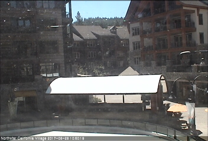
Village
MONDAY
Oct 20
52° / 46°

5 - 13
mph
 0
0
TUESDAY
Oct 21

57° / 48°
4 - 11
mph
0
WEDNESDAY
Oct 22
57° / 40°

10 - 18
mph
0
THURSDAY
Oct 23

53° / 47°
4 - 12
mph
0
FRIDAY
Oct 24

55° / 34°

15 - 26
mph
1
SATURDAY
Oct 25

41° / 34°
12 - 21
mph
0
Mostly clear becoming clear in the late morning continuing through overnight, with windy conditions at times.
No snow.
No precipitation expected.
Hi: 52°Low: 46°
13,323 feet to 14728 feet
Winds E at 7 to 15 mph in the morning, becoming variable at 5 to 13 mph in the afternoon, and then variable at 4 to 12 mph overnight.
Clear becoming partly cloudy at times continuing through overnight, with windy conditions at times.
No snow.
No precipitation expected.
Hi: 57°Low: 48°
11,769 feet to 12921 feet
Winds variable at 4 to 12 mph in the morning, becoming variable at 4 to 11 mph in the afternoon, and then variable at 5 to 12 mph overnight.
Clear becoming mostly clear overnight continuing through overnight, with windy conditions at times.
No snow.
No precipitation expected.
Hi: 57°Low: 40°
10,359 feet to 11684 feet
Winds W at 12 to 21 mph in the morning, becoming W at 10 to 18 mph in the afternoon, and then SW at 7 to 15 mph overnight.
Mostly clear becoming mostly cloudy in the evening continuing through overnight, with windy conditions at times.
No snow.
No precipitation expected.
Hi: 53°Low: 47°
10,781 feet to 12621 feet
Winds variable at 4 to 12 mph through the day, becoming SW at 8 to 16 mph overnight.
Mostly cloudy becoming partly cloudy at times continuing through overnight, with periods of rain and snow expected overnight.
Periods of light to moderate snow throughout the day, light at times overnight. Snowfall is forecast to be 1 to 2 inches.
Potential Precip:
0.09 to 0.44
Hi: 55°Low: 34°
8,080 feet to 12211 feet
Winds SW at 15 to 26 mph with gusts to 41 throughout the day and into overnight.
Mostly clear becoming mostly cloudy at times continuing through overnight, with periods of snow expected overnight.
Periods of light snow overnight. Snowfall is forecast to be a trace amount.
Potential Precip:
0.03 to 0.13
Hi: 41°Low: 34°
8,482 feet to 9412 feet
Winds SW at 12 to 21 mph through the day, becoming SW at 15 to 26 mph with gusts to 43 overnight.
 Sunrise & Sunset

Lunar Calendar


 Snow Maps and Weather Stations in the Area
 ![]() 20in, past 7 days. Snow surface is machine groomed and powder
20in, past 7 days. Snow surface is machine groomed and powder
Snow report provided by SnoCountry
 Mid-Mountain


