 Mt Waterman
 Mount Washington Alpine
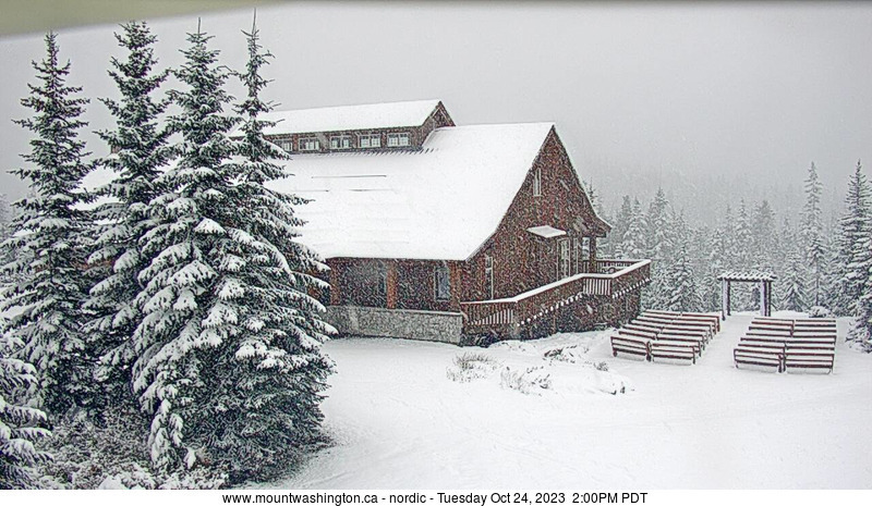
  WebCams
Nordic
SUNDAY
Sep 7

61° / 50°

4 - 11
mph
 0
0
MONDAY
Sep 8
53° / 51°

0 - 0
mph
0
TUESDAY
Sep 9

54° / 50°
4 - 11
mph
0
WEDNESDAY
Sep 10
59° / 54°
4 - 11
mph
0
THURSDAY
Sep 11

64° / 55°
5 - 12
mph
0
FRIDAY
Sep 12

62° / 52°

3 - 11
mph
0
SATURDAY
Sep 13
60° / 47°
5 - 13
mph
0
Mostly clear becoming mostly cloudy in the afternoon continuing through overnight, with periods of rain expected at any time.
No snow.
Potential Precip:
0.04 to 0.2
Hi: 56°Low: 48°
10,872 feet to 11474 feet
Winds variable at 5 to 12 mph in the morning, becoming variable at 4 to 11 mph in the afternoon through overnight.
Mostly cloudy through the day becoming cloudy overnight. Periods of rain are expected at any time.
No snow.
Potential Precip:
0.04 to 0.22
Hi: 52°Low: 48°
10,872 feet to 11474 feet
Winds variable at 4 to 12 mph in the morning, becoming variable at 5 to 13 mph in the afternoon, and then calm overnight.
Mostly cloudy becoming partly cloudy overnight continuing through overnight, with periods of rain expected at any time.
No snow.
Potential Precip:
0.09 to 0.47
Hi: 49°Low: 48°
10,193 feet to 10685 feet
Winds variable at 4 to 11 mph in the morning, becoming calm in the afternoon through overnight.
Mostly cloudy becoming partly cloudy in the late morning continuing through overnight. Periods of rain are expected in the morning through afternoon.
No snow.
Potential Precip:
0.01 to 0.07
Hi: 49°Low: 48°
10,193 feet to 10685 feet
Winds variable at 4 to 12 mph in the morning, becoming NW at 6 to 14 mph in the afternoon, and then variable at 4 to 12 mph overnight.
Partly cloudy through the day and overnight, with periods of rain expected in the morning through evening.
No snow.
Potential Precip:
0.06 to 0.31
Hi: 50°Low: 48°
10,560 feet to 11848 feet
Winds variable at 4 to 11 mph throughout the day and into overnight.
Mostly clear becoming clear in the late morning and then mostly clear overnight.
No snow.
Potential Precip:
0 to 0.01
Hi: 50°Low: 48°
10,560 feet to 11848 feet
Winds variable at 4 to 12 mph in the morning, becoming variable at 5 to 12 mph in the afternoon, and then variable at 4 to 11 mph overnight.
Partly cloudy through the day becoming clear overnight. Periods of rain are expected in the morning through afternoon.
No snow.
Potential Precip:
0 to 0.01
Hi: 54°Low: 50°
11,661 feet to 12603 feet
Winds variable at 4 to 11 mph in the morning, becoming variable at 5 to 12 mph in the afternoon, and then variable at 4 to 11 mph overnight.
Partly cloudy becoming clear at times and then mostly clear overnight. Expect windy conditions at times.
No snow.
No precipitation expected.
Hi: 54°Low: 49°
11,661 feet to 12603 feet
Winds variable at 4 to 12 mph through the day, becoming variable at 5 to 12 mph overnight.
Partly cloudy becoming clear overnight continuing through overnight, with windy conditions at times.
No snow.
No precipitation expected.
Hi: 58°Low: 53°
11,321 feet to 12574 feet
Winds variable at 4 to 11 mph throughout the day and into overnight.
Partly cloudy becoming clear overnight continuing through overnight, with windy conditions at times.
No snow.
No precipitation expected.
Hi: 57°Low: 54°
11,321 feet to 12574 feet
Winds W at 6 to 14 mph through the day, becoming variable at 5 to 12 mph overnight.
Mostly clear becoming clear in the afternoon continuing through overnight, with periods of rain expected in the morning.
No snow.
Potential Precip:
0.03 to 0.15
Hi: 57°Low: 50°
11,192 feet to 11489 feet
Winds variable at 5 to 12 mph throughout the day and into overnight.
Clear through the day and overnight.
No snow.
Potential Precip:
0.01 to 0.04
Hi: 54°Low: 50°
11,192 feet to 11489 feet
Winds variable at 3 to 11 mph through the day, becoming variable at 4 to 12 mph overnight.
Clear becoming cloudy overnight continuing through overnight.
No snow.
Potential Precip:
0 to 0.01
Hi: 54°Low: 46°
8,501 feet to 11159 feet
Winds variable at 5 to 13 mph through the day, becoming S at 6 to 14 mph overnight.
Mostly clear becoming partly cloudy overnight continuing through overnight.
No snow.
Potential Precip:
0 to 0.01
Hi: 52°Low: 47°
8,501 feet to 11159 feet
Winds S at 6 to 14 mph through the day, becoming SE at 9 to 17 mph overnight.
 Sunrise & Sunset

Lunar Calendar


 Snow Maps and Weather Stations in the Area
 ![]() 9in, past 7 days. Snow surface is packed powder and variable conditions
9in, past 7 days. Snow surface is packed powder and variable conditions
Snow report provided by SnoCountry
 Mountain Base


