 Mad River Mo...
 La Croix de Bauzon
  WebCams
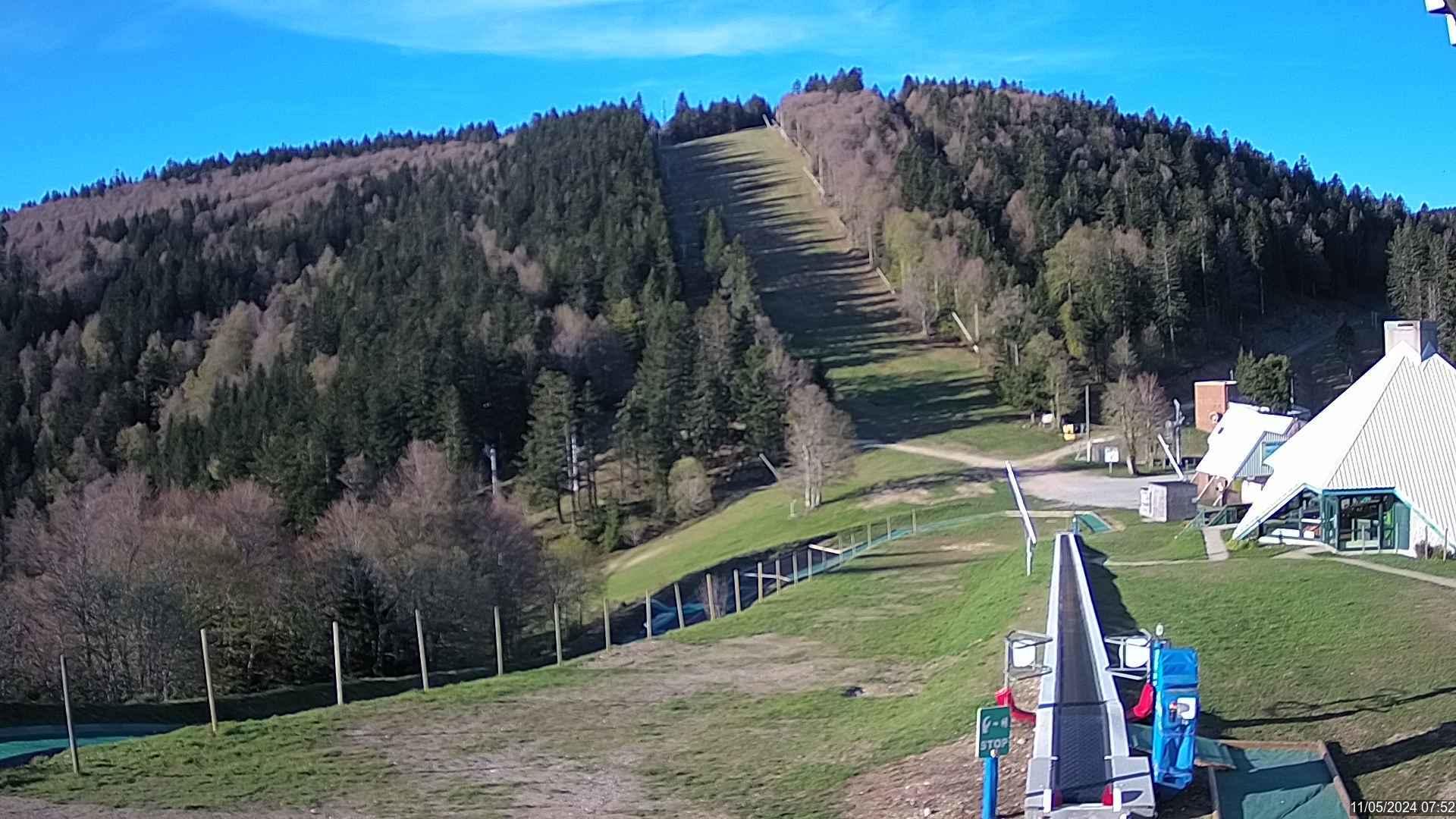
Webcam de la Station de la Croix de Bauzon
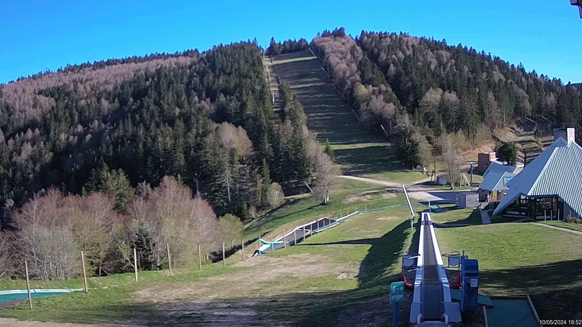
Webcam de la Station de la Croix de Bauzon
THURSDAY
Apr 24

45° / 39°

21 - 32
mph
 0
0
FRIDAY
Apr 25
51° / 40°

16 - 27
mph
0
SATURDAY
Apr 26

52° / 42°

4 - 12
mph
0
SUNDAY
Apr 27
47° / 40°

9 - 17
mph
0
MONDAY
Apr 28
49° / 44°
5 - 13
mph
0
TUESDAY
Apr 29
55° / 49°

3 - 11
mph
0
WEDNESDAY
Apr 30
51° / 47°
5 - 13
mph
0
Clear becoming mostly clear in the late morning continuing through overnight.
No snow.
Potential Precip:
0 to 0.01
Hi: 45°Low: 39°
8,075 feet to 11045 feet
Winds NW at 19 to 30 mph in the morning, becoming N at 21 to 32 mph in the afternoon, and then N at 23 to 34 mph overnight.
Clear becoming mostly clear at times continuing through overnight.
No snow.
Potential Precip:
0 to 0.01
Hi: 51°Low: 40°
10,197 feet to 10830 feet
Winds S at 21 to 32 mph in the morning, becoming S at 16 to 27 mph in the afternoon, and then W at 13 to 22 mph overnight.
Partly cloudy becoming cloudy in the afternoon continuing through overnight, with periods of rain expected in the morning through overnight.
No snow.
Potential Precip:
0.15 to 0.74
Hi: 52°Low: 42°
7,133 feet to 10122 feet
Winds NW at 6 to 14 mph in the morning, becoming variable at 4 to 12 mph in the afternoon, and then W at 10 to 18 mph overnight.
Mostly cloudy becoming partly cloudy at times continuing through overnight. Periods of rain are expected at any time.
No snow.
Potential Precip:
0.29 to 1.45
Hi: 47°Low: 40°
6,574 feet to 8250 feet
Winds S at 14 to 23 mph in the morning, becoming variable at 9 to 17 mph in the afternoon, and then variable at 11 to 20 mph overnight.
Mostly clear becoming partly cloudy at times and then mostly clear overnight. Periods of rain are expected in the morning through afternoon.
No snow.
Potential Precip:
0.31 to 1.57
Hi: 49°Low: 44°
7,460 feet to 9618 feet
Winds variable at 5 to 13 mph through the day, becoming variable at 5 to 12 mph overnight.
Clear becoming mostly clear in the late morning continuing through overnight. Periods of rain are expected in the evening.
No snow.
Potential Precip:
0.32 to 1.6
Hi: 55°Low: 49°
9,558 feet to 11418 feet
Winds variable at 3 to 11 mph through the day, becoming variable at 4 to 12 mph overnight.
Clear becoming partly cloudy in the afternoon and then mostly clear overnight. Periods of rain are expected in the afternoon through evening.
No snow.
Potential Precip:
0.33 to 1.63
Hi: 51°Low: 47°
10,515 feet to 11411 feet
Winds variable at 5 to 13 mph through the day, becoming variable at 3 to 11 mph overnight.
 Sunrise & Sunset

Lunar Calendar


 Mid-Mountain


