 Mt Waterman
 Autrans-La Sure
  WebCams
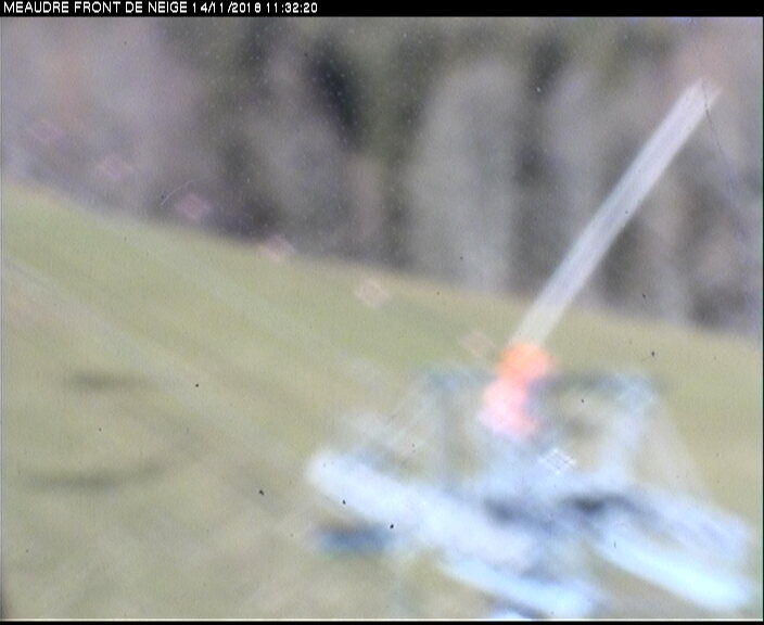
Piste de I'Ecureil
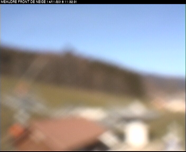
TSF du goncon
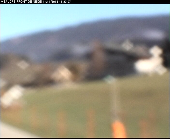
TK ECUREUIL
WEDNESDAY
Aug 27

67° / 58°

13 - 22
mph
 0
0
THURSDAY
Aug 28
58° / 51°

4 - 12
mph
0
FRIDAY
Aug 29

57° / 46°
4 - 12
mph
0
SATURDAY
Aug 30

58° / 45°
7 - 15
mph
0
SUNDAY
Aug 31
63° / 56°
5 - 12
mph
0
MONDAY
Sep 1
53° / 48°
7 - 15
mph
0
TUESDAY
Sep 2
53° / 47°
6 - 14
mph
0
Clear becoming cloudy overnight continuing through overnight, with periods of rain expected in the morning through overnight.
No snow.
Potential Precip:
0.01 to 0.07
Hi: 67°Low: 58°
12,469 feet to 13174 feet
Winds S at 10 to 19 mph in the morning, becoming S at 13 to 22 mph in the afternoon, and then S at 11 to 20 mph overnight.
Cloudy through the day becoming partly cloudy overnight. Periods of rain are expected at any time.
No snow.
Potential Precip:
0.74 to 3.72
Hi: 58°Low: 51°
10,646 feet to 12571 feet
Winds variable at 4 to 12 mph through the day, becoming variable at 8 to 16 mph overnight.
Clear becoming mostly clear at times continuing through overnight, with periods of rain expected in the evening through overnight.
No snow.
Potential Precip:
0.91 to 4.55
Hi: 57°Low: 46°
8,699 feet to 10693 feet
Winds variable at 6 to 14 mph in the morning, becoming variable at 4 to 12 mph in the afternoon, and then W at 8 to 16 mph overnight.
Partly cloudy becoming clear at times continuing through overnight. Periods of rain are expected in the morning.
No snow.
Potential Precip:
0.94 to 4.68
Hi: 58°Low: 45°
9,084 feet to 13438 feet
Winds N at 11 to 20 mph in the morning, becoming N at 7 to 15 mph in the afternoon, and then variable at 5 to 13 mph overnight.
Mostly clear becoming partly cloudy at times continuing through overnight. Periods of rain are expected in the morning through evening.
No snow.
Potential Precip:
0.94 to 4.69
Hi: 63°Low: 56°
11,209 feet to 13331 feet
Winds variable at 5 to 12 mph through the day, becoming S at 13 to 22 mph overnight.
Cloudy becoming mostly cloudy at times continuing through overnight, with periods of rain expected at any time.
No snow.
Potential Precip:
2.24 to 11.2
Hi: 53°Low: 48°
9,892 feet to 11748 feet
Winds variable at 7 to 15 mph through the day, becoming variable at 5 to 13 mph overnight.
Mostly cloudy through the day and overnight, with periods of rain expected in the morning.
No snow.
Potential Precip:
2.24 to 11.2
Hi: 53°Low: 47°
9,529 feet to 10157 feet
Winds variable at 6 to 14 mph through the day, becoming variable at 5 to 12 mph overnight.
 Sunrise & Sunset

Lunar Calendar


 Mid-Mountain


