 Mt Waterman
 Monarch Mountain
 Northwest
 WebCams

Sundeck Cam
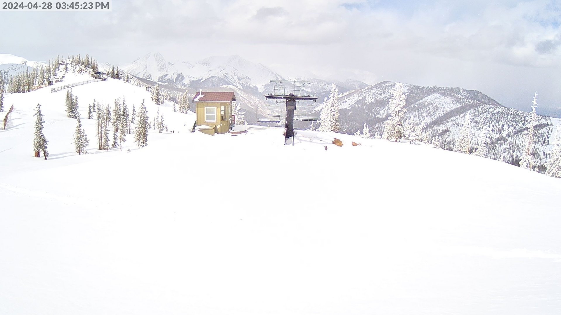
Caterpillar Lift

Hwy 50 Cam
WEDNESDAY
Jul 23

55° / 49°

4 - 12
mph
 0
0
THURSDAY
Jul 24
56° / 48°
7 - 15
mph
0
FRIDAY
Jul 25

62° / 54°

14 - 25
mph
0
SATURDAY
Jul 26
61° / 53°
14 - 25
mph
0
SUNDAY
Jul 27

62° / 49°
6 - 14
mph
0
MONDAY
Jul 28
61° / 46°
13 - 22
mph
0
TUESDAY
Jul 29
59° / 47°
7 - 15
mph
0
Partly cloudy through the day and overnight, with periods of rain expected in the morning through overnight.
No snow.
Potential Precip:
0.05 to 0.26
Hi: 55°Low: 49°
14,895 feet to 15219 feet
Winds W at 11 to 20 mph in the morning, becoming variable at 4 to 12 mph in the afternoon, and then variable at 8 to 16 mph overnight.
Mostly cloudy becoming mostly clear at times continuing through overnight, with periods of rain expected in the morning through evening.
No snow.
Potential Precip:
0.09 to 0.43
Hi: 56°Low: 48°
14,669 feet to 15236 feet
Winds SW at 12 to 21 mph in the morning, becoming W at 7 to 15 mph in the afternoon, and then variable at 6 to 14 mph overnight.
Partly cloudy becoming clear at times continuing through overnight. Expect windy conditions at times.
No snow.
No precipitation expected.
Hi: 62°Low: 54°
15,110 feet to 16118 feet
Winds SW at 14 to 23 mph in the morning, becoming W at 14 to 25 mph in the afternoon, and then W at 8 to 16 mph overnight.
Partly cloudy becoming clear at times and then mostly clear overnight. Expect windy conditions at times.
No snow.
No precipitation expected.
Hi: 61°Low: 53°
15,511 feet to 16104 feet
Winds W at 15 to 26 mph in the morning, becoming SE at 14 to 25 mph in the afternoon, and then variable at 5 to 13 mph overnight.
Mostly cloudy becoming partly cloudy at times continuing through overnight, with periods of rain expected in the morning through evening.
No snow.
Potential Precip:
0.07 to 0.37
Hi: 62°Low: 49°
15,483 feet to 16303 feet
Winds variable at 6 to 14 mph through the day, becoming W at 6 to 14 mph overnight.
Mostly cloudy becoming partly cloudy at times continuing through overnight, with periods of rain expected at any time.
No snow.
Potential Precip:
0.21 to 1.06
Hi: 61°Low: 46°
15,285 feet to 16095 feet
Winds variable at 13 to 22 mph through the day, becoming E at 10 to 18 mph overnight.
Mostly clear becoming mostly cloudy in the evening continuing through overnight, with periods of rain expected in the afternoon through overnight.
No snow.
Potential Precip:
0.11 to 0.55
Hi: 59°Low: 47°
15,090 feet to 15904 feet
Winds variable at 7 to 15 mph through the day, becoming S at 7 to 15 mph overnight.
 Sunrise & Sunset

Lunar Calendar


 Snow Maps and Weather Stations in the Area
 ![]() 13in, past 7 days. Snow surface is packed powder and powder
13in, past 7 days. Snow surface is packed powder and powder
Snow report provided by SnoCountry
 Mid-Mountain


