 Mt Waterman
 Schweitzer Mountain Resort

 WebCams
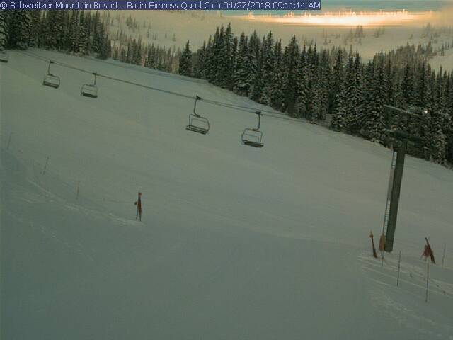
Basin Express
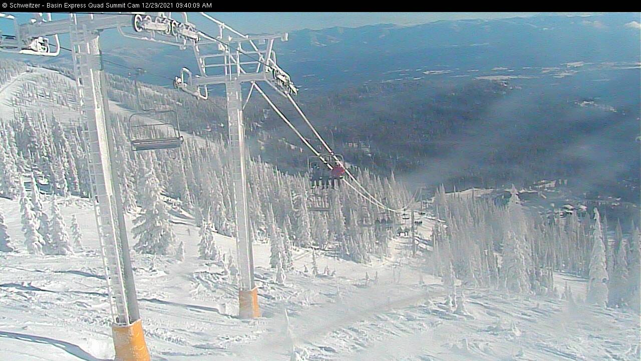
Basin Express Quad- Summit
TUESDAY
Apr 7

28° / 24°

7 - 15
mph
 2
2
WEDNESDAY
Apr 8
27° / 23°

13 - 22
mph
3
THURSDAY
Apr 9
29° / 24°
13 - 24
mph
1
FRIDAY
Apr 10

32° / 25°
14 - 23
mph
0
SATURDAY
Apr 11
30° / 27°
4 - 11
mph
0
SUNDAY
Apr 12
33° / 29°
6 - 14
mph
0
MONDAY
Apr 13
34° / 31°
8 - 16
mph
0
Mostly cloudy through the day becoming partly cloudy overnight. Periods of snow are expected at any time.
Light snow through the day and into overnight. Snowfall is forecast to be 1 to 2 during the day, and 1 to 2 inches in the evening and overnight.
Potential Precip:
0.05 to 0.26
Hi: 31°Low: 27°
2,775 feet to 3993 feet
Winds SW at 6 to 14 mph in the morning, becoming variable at 5 to 13 mph in the afternoon, and then SW at 7 to 15 mph overnight.
Mostly cloudy through the day becoming partly cloudy overnight. Periods of snow are expected at any time.
Light snow through the day and into overnight with periods of moderate through the day and into evening. Snowfall is forecast to be 1 to 2 during the day, and 1 to 2 inches in the evening and overnight.
Potential Precip:
0.05 to 0.26
Hi: 22°Low: 18°
2,775 feet to 3993 feet
Winds W at 8 to 16 mph with gusts to 22 in the morning, becoming W at 11 to 20 mph with gusts to 26 in the afternoon, and then W at 12 to 21 mph overnight.
Mostly cloudy through the day becoming cloudy overnight. Periods of snow are expected at any time.
Light snow through the day and into overnight with periods of moderate during the day. Snowfall is forecast to be 1 to 2 during the day, and 1 to 2 inches in the evening and overnight.
Potential Precip:
0.08 to 0.38
Hi: 29°Low: 26°
2,540 feet to 3534 feet
Winds SW at 11 to 20 mph in the morning, becoming SW at 10 to 19 mph in the afternoon through overnight.
Mostly cloudy through the day becoming cloudy overnight. Periods of snow are expected at any time.
Moderate snow during the day, becoming light in the evening and moderate overnight. Snowfall is forecast to be 2 to 3 during the day, and 2 to 3 inches in the evening and overnight.
Potential Precip:
0.08 to 0.38
Hi: 21°Low: 18°
2,540 feet to 3534 feet
Winds SW at 16 to 27 mph with gusts to 35 in the morning, becoming SW at 22 to 33 mph with gusts to 39 in the afternoon, and then SW at 18 to 29 mph with gusts to 40 overnight.
Mostly cloudy becoming partly cloudy at times and then mostly cloudy overnight. Periods of snow are expected at any time.
Light snow through the day and into overnight. Snowfall is forecast to be 1 to 2 during the day, and a trace amount in the evening and overnight.
Potential Precip:
0.03 to 0.17
Hi: 31°Low: 27°
2,286 feet to 3733 feet
Winds SW at 10 to 19 mph in the morning, becoming SW at 11 to 20 mph in the afternoon, and then SW at 10 to 19 mph overnight.
Mostly cloudy becoming partly cloudy at times and then mostly cloudy overnight. Periods of snow are expected at any time.
Light snow through the day and into overnight with periods of moderate during the day. Snowfall is forecast to be 1 to 2 during the day, and a trace amount in the evening and overnight.
Potential Precip:
0.03 to 0.17
Hi: 22°Low: 19°
2,286 feet to 3733 feet
Winds SW at 19 to 30 mph with gusts to 43 in the morning, becoming SW at 22 to 33 mph with gusts to 46 in the afternoon, and then SW at 21 to 32 mph with gusts to 48 overnight.
Mostly cloudy becoming mostly clear at times continuing through overnight. Periods of snow are expected in the morning through afternoon.
Periods of light snow throughout the day. Snowfall is forecast to be a trace amount.
Potential Precip:
0.01 to 0.07
Hi: 33°Low: 25°
450 feet to 4997 feet
Winds SW at 10 to 18 mph in the morning, becoming SW at 10 to 19 mph with gusts to 25 in the afternoon, and then variable at 5 to 12 mph overnight.
Mostly cloudy becoming mostly clear at times continuing through overnight. Periods of snow are expected in the morning through afternoon.
Periods of light snow throughout the day. Snowfall is forecast to be 1 to 2 inches.
Potential Precip:
0.01 to 0.07
Hi: 25°Low: 21°
450 feet to 4997 feet
Winds SW at 21 to 32 mph with gusts to 41 in the morning, becoming W at 21 to 32 mph with gusts to 41 in the afternoon, and then W at 11 to 20 mph with gusts to 28 overnight.
Partly cloudy becoming mostly cloudy in the late morning continuing through overnight. Periods of snow are expected overnight.
Periods of light snow overnight. Snowfall is forecast to be a trace amount.
Potential Precip:
0 to 0.01
Hi: 32°Low: 28°
1,578 feet to 4180 feet
Winds variable at 5 to 12 mph through the day, becoming variable at 4 to 11 mph overnight.
Partly cloudy becoming mostly cloudy in the late morning continuing through overnight. Periods of snow are expected overnight.
Periods of light snow overnight. Snowfall is forecast to be a trace amount.
Potential Precip:
0 to 0.01
Hi: 23°Low: 22°
1,578 feet to 4180 feet
Winds variable at 4 to 12 mph through the day, becoming SW at 7 to 15 mph overnight.
Partly cloudy becoming mostly clear in the afternoon and then partly cloudy overnight.
Periods of light snow throughout the day. Snowfall is forecast to be a trace amount.
Potential Precip:
0 to 0.01
Hi: 35°Low: 29°
1,570 feet to 5909 feet
Winds variable at 5 to 13 mph through the day, becoming SW at 6 to 14 mph overnight.
Partly cloudy becoming mostly clear in the afternoon and then partly cloudy overnight.
Periods of light snow throughout the day. Snowfall is forecast to be a trace amount.
Potential Precip:
0 to 0.01
Hi: 25°Low: 23°
1,570 feet to 5909 feet
Winds SW at 8 to 16 mph through the day, becoming SW at 10 to 19 mph overnight.
Partly cloudy through the day and overnight, with periods of snow expected in the afternoon.
Periods of light snow throughout the day. Snowfall is forecast to be a trace amount.
Potential Precip:
0 to 0.01
Hi: 35°Low: 32°
4,606 feet to 6319 feet
Winds SW at 6 to 14 mph throughout the day and into overnight.
Partly cloudy through the day and overnight, with periods of snow expected in the afternoon.
Periods of light snow throughout the day. Snowfall is forecast to be a trace amount.
Potential Precip:
0 to 0.01
Hi: 26°Low: 24°
4,606 feet to 6319 feet
Winds SW at 10 to 19 mph through the day, becoming SW at 9 to 18 mph overnight.
 Sunrise & Sunset

Lunar Calendar


 Snow Maps and Weather Stations in the Area
  Mountain Base


