 Mt Waterman
 The Remarkables
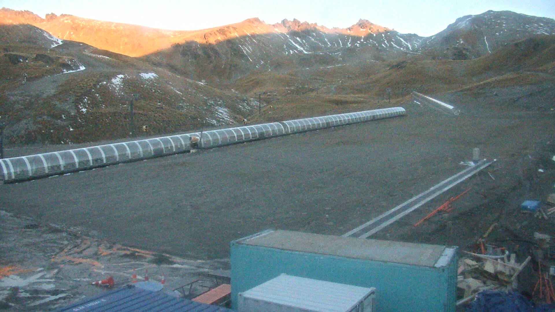
  WebCams
Big View
WEDNESDAY
Jan 14

42° / 35°

4 - 12
mph
 0
0
THURSDAY
Jan 15
42° / 38°
5 - 13
mph
0
FRIDAY
Jan 16

38° / 34°
7 - 15
mph
1
SATURDAY
Jan 17
34° / 32°
6 - 14
mph
1
SUNDAY
Jan 18

37° / 31°
5 - 13
mph
0
MONDAY
Jan 19

45° / 38°
5 - 13
mph
0
TUESDAY
Jan 20
48° / 43°
6 - 14
mph
0
Cloudy becoming mostly cloudy at times continuing through overnight, with periods of rain and snow expected overnight.
Periods of light snow during the day. Snowfall is forecast to be a trace amount during the day.
Potential Precip:
0.01 to 0.04
Hi: 42°Low: 35°
7,138 feet to 8101 feet
Winds variable at 5 to 13 mph in the morning, becoming variable at 4 to 12 mph in the afternoon, and then variable at 4 to 11 mph overnight.
Mostly cloudy becoming cloudy at times continuing through overnight, with periods of rain and snow expected overnight.
Light snow in the evening. Snowfall is forecast to be a trace amount in the evening.
Potential Precip:
0.02 to 0.12
Hi: 42°Low: 38°
7,951 feet to 8384 feet
Winds E at 6 to 14 mph in the morning, becoming variable at 5 to 13 mph in the afternoon, and then E at 7 to 15 mph overnight.
Cloudy through the day and overnight, with periods of snow expected at any time.
Light snow through the day into the evening, becoming moderate overnight. Snowfall is forecast to be a trace amount during the day, and 1 to 2 inches in the evening and overnight.
Potential Precip:
0.14 to 0.7
Hi: 38°Low: 34°
6,760 feet to 8192 feet
Winds E at 8 to 16 mph in the morning, becoming E at 7 to 15 mph in the afternoon, and then SE at 6 to 14 mph overnight.
Cloudy becoming partly cloudy in the afternoon continuing through overnight, with periods of snow expected at any time.
Periods of light snow throughout the day and overnight. Snowfall is forecast to be 1 to 2 inches.
Potential Precip:
0.06 to 0.32
Hi: 34°Low: 32°
6,019 feet to 7072 feet
Winds SE at 9 to 17 mph in the morning, becoming SE at 6 to 14 mph in the afternoon, and then variable at 4 to 12 mph overnight.
Partly cloudy becoming mostly clear in the afternoon continuing through overnight, with periods of snow expected in the morning.
Periods of light snow throughout the day. Snowfall is forecast to be a trace amount.
Potential Precip:
0 to 0.01
Hi: 37°Low: 31°
5,584 feet to 7654 feet
Winds variable at 5 to 13 mph through the day, becoming SE at 6 to 14 mph overnight.
Mostly clear becoming clear in the afternoon continuing through overnight, with windy conditions at times.
No snow.
No precipitation expected.
Hi: 45°Low: 38°
7,814 feet to 11376 feet
Winds variable at 5 to 13 mph through the day, becoming S at 8 to 16 mph overnight.
Mostly clear becoming clear in the afternoon continuing through overnight, with windy conditions at times.
No snow.
No precipitation expected.
Hi: 48°Low: 43°
10,380 feet to 12048 feet
Winds S at 6 to 14 mph through the day, becoming SW at 7 to 15 mph overnight.
 Sunrise & Sunset

Lunar Calendar


 Mid-Mountain


