 Mt Waterman
 Lake Mountain Ski Resort
  WebCams
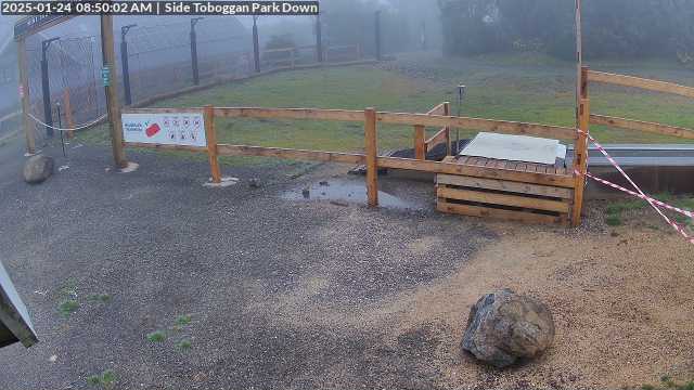
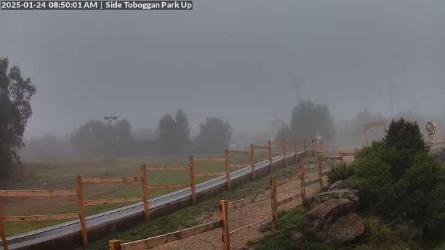
Koala Creek Toboggan Run
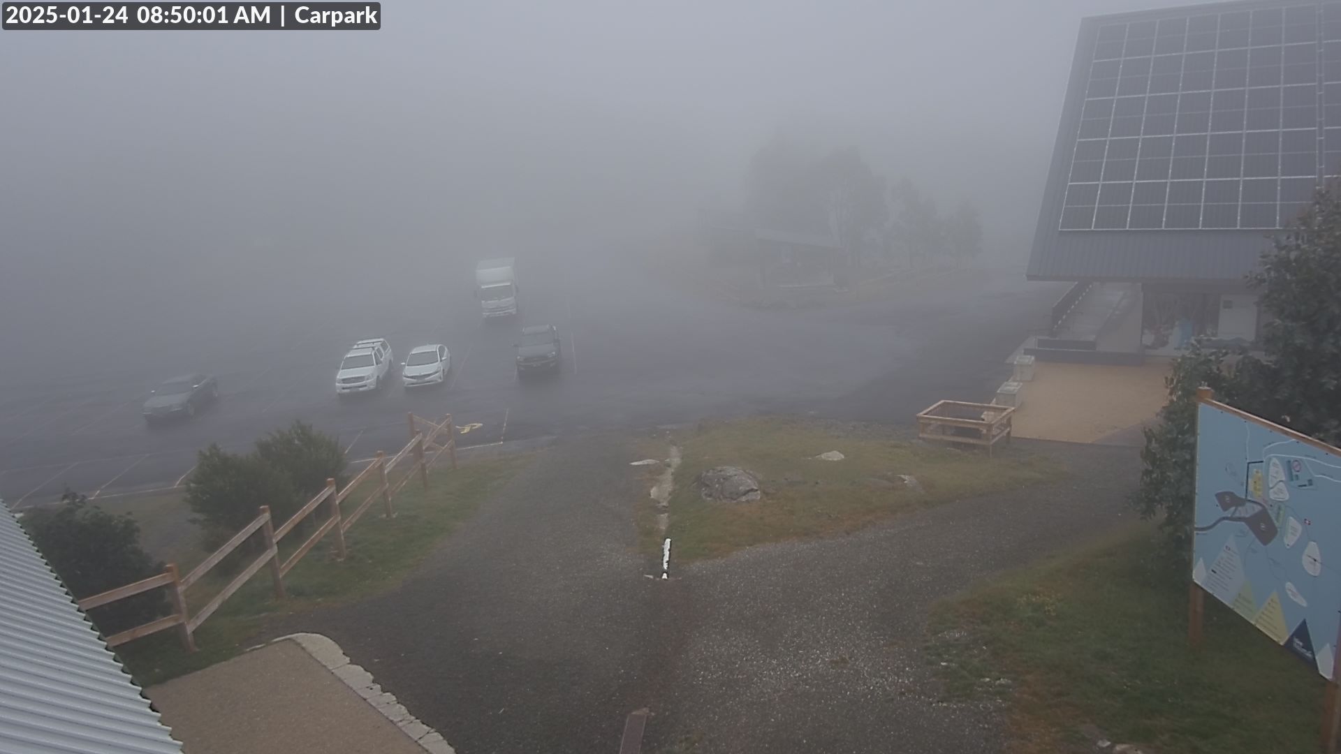
Car Park
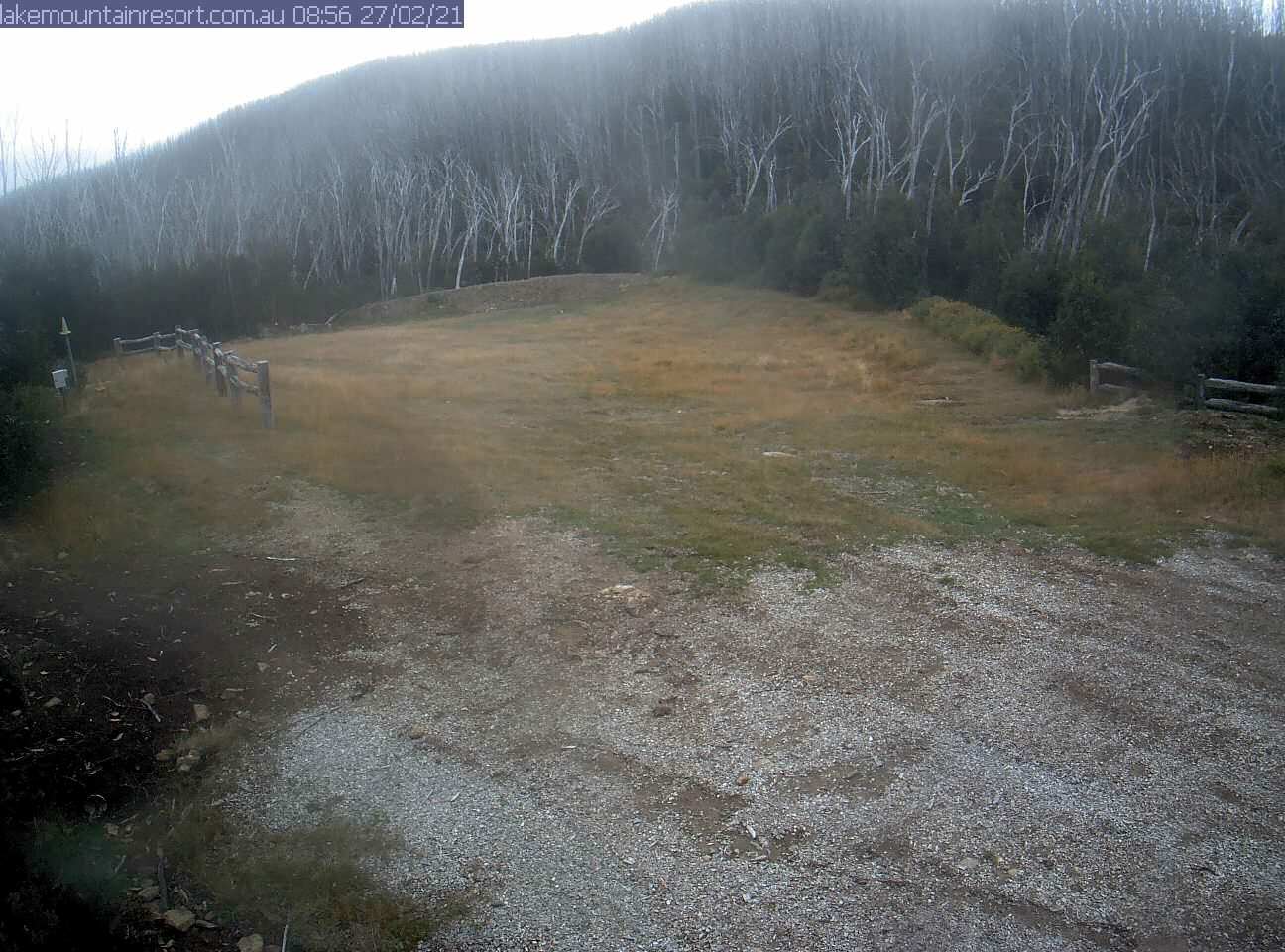
Resort Trail Head
Village Toboggan Run
FRIDAY
Apr 3

60° / 52°

5 - 12
mph
 0
0
SATURDAY
Apr 4

57° / 55°

9 - 17
mph
0
SUNDAY
Apr 5
59° / 57°
6 - 14
mph
0
MONDAY
Apr 6
60° / 57°

0 - 0
mph
0
TUESDAY
Apr 7
59° / 54°
5 - 13
mph
0
WEDNESDAY
Apr 8
59° / 56°

25 - 36
mph
0
THURSDAY
Apr 9
63° / 60°
12 - 21
mph
0
Partly cloudy becoming mostly cloudy at times and then partly cloudy overnight. Periods of rain are expected in the morning through evening.
No snow.
Potential Precip:
0.15 to 0.76
Hi: 60°Low: 52°
13,292 feet to 14387 feet
Winds variable at 4 to 12 mph with gusts to 20 in the morning, becoming variable at 5 to 12 mph in the afternoon, and then SE at 9 to 17 mph overnight.
Mostly clear becoming partly cloudy at times continuing through overnight, with periods of rain expected overnight.
No snow.
Potential Precip:
0 to 0.01
Hi: 57°Low: 55°
13,245 feet to 14246 feet
Winds E at 10 to 19 mph in the morning, becoming NE at 9 to 17 mph in the afternoon, and then variable at 5 to 13 mph overnight.
Partly cloudy through the day becoming mostly clear overnight. Periods of rain are expected in the afternoon.
No snow.
Potential Precip:
0.1 to 0.49
Hi: 59°Low: 57°
12,704 feet to 13362 feet
Winds SW at 8 to 16 mph in the morning, becoming S at 6 to 14 mph in the afternoon, and then variable at 3 to 11 mph overnight.
Mostly cloudy becoming cloudy in the evening continuing through overnight, with periods of rain expected at any time.
No snow.
Potential Precip:
0.16 to 0.78
Hi: 60°Low: 57°
12,321 feet to 13083 feet
Winds variable at 5 to 13 mph in the morning, becoming calm in the afternoon, and then variable at 4 to 11 mph overnight.
Mostly cloudy becoming cloudy in the late morning continuing through overnight. Periods of rain are expected in the evening through overnight.
No snow.
Potential Precip:
0.17 to 0.84
Hi: 59°Low: 54°
11,890 feet to 12499 feet
Winds variable at 5 to 13 mph through the day, becoming NE at 14 to 25 mph with gusts to 31 overnight.
Mostly cloudy becoming partly cloudy at times continuing through overnight, with periods of rain expected at any time.
No snow.
Potential Precip:
0.09 to 0.44
Hi: 59°Low: 56°
12,583 feet to 13384 feet
Winds variable at 25 to 36 mph through the day, becoming variable at 18 to 29 mph overnight.
Mostly clear becoming partly cloudy at times continuing through overnight, with periods of rain developing in the afternoon through overnight.
No snow.
Potential Precip:
0.09 to 0.44
Hi: 63°Low: 60°
13,213 feet to 13839 feet
Winds S at 12 to 21 mph through the day, becoming variable at 9 to 18 mph overnight.
 Sunrise & Sunset

Lunar Calendar


 Mid-Mountain


