 Molines-en-Q...
 Gerardmer-La Mauselaine
  WebCams
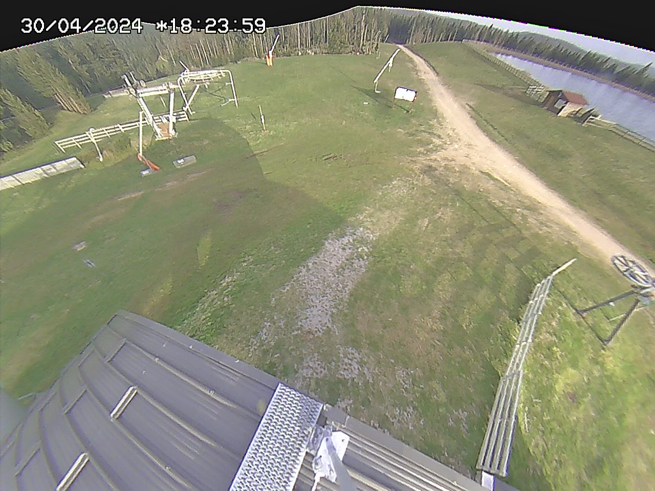
le Grand-Haut 1100m
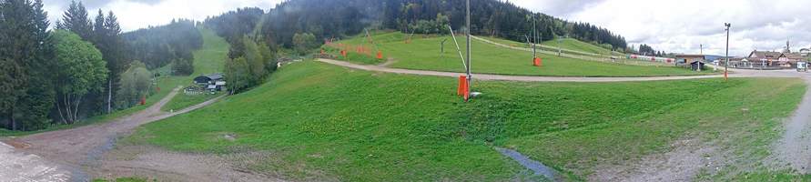
Front de Neige
WEDNESDAY
Apr 1

54° / 45°

5 - 12
mph
 0
0
THURSDAY
Apr 2
55° / 47°
4 - 12
mph
0
FRIDAY
Apr 3
56° / 49°
5 - 12
mph
0
SATURDAY
Apr 4

49° / 42°
6 - 14
mph
0
SUNDAY
Apr 5

43° / 38°
6 - 14
mph
0
MONDAY
Apr 6

51° / 42°
4 - 12
mph
0
Clear becoming partly cloudy overnight continuing through overnight.
No snow.
Potential Precip:
0.07 to 0.35
Hi: 54°Low: 45°
9,591 feet to 10168 feet
Winds variable at 5 to 12 mph throughout the day and into overnight.
Clear becoming partly cloudy at times and then mostly clear overnight.
No snow.
Potential Precip:
0.07 to 0.35
Hi: 55°Low: 47°
9,055 feet to 9406 feet
Winds SW at 7 to 15 mph in the morning, becoming variable at 4 to 12 mph in the afternoon, and then variable at 5 to 12 mph overnight.
Clear becoming mostly clear overnight continuing through overnight.
No snow.
Potential Precip:
0.07 to 0.35
Hi: 56°Low: 49°
8,700 feet to 9174 feet
Winds variable at 4 to 12 mph in the morning, becoming variable at 5 to 12 mph in the afternoon, and then variable at 3 to 11 mph overnight.
Mostly clear becoming mostly cloudy in the afternoon continuing through overnight. Periods of rain are expected in the morning through overnight.
No snow.
Potential Precip:
0.07 to 0.36
Hi: 49°Low: 42°
5,705 feet to 8707 feet
Winds SW at 6 to 14 mph through the day, becoming W at 6 to 14 mph overnight.
Cloudy becoming clear overnight continuing through overnight.
Periods of light snow throughout the day. Snowfall is forecast to be a trace amount.
Potential Precip:
0.09 to 0.46
Hi: 43°Low: 38°
4,423 feet to 7132 feet
Winds SW at 6 to 14 mph through the day, becoming variable at 5 to 12 mph overnight.
Clear becoming mostly cloudy overnight continuing through overnight.
No snow.
Potential Precip:
0.09 to 0.46
Hi: 51°Low: 42°
6,801 feet to 7562 feet
Winds variable at 4 to 12 mph through the day, becoming variable at 5 to 13 mph overnight.
 Sunrise & Sunset

Lunar Calendar


 Mid-Mountain


