 Mt Waterman
 Ben Lomond Resort
  WebCams
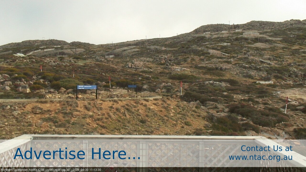
Northern Tasmania - Top Slopes
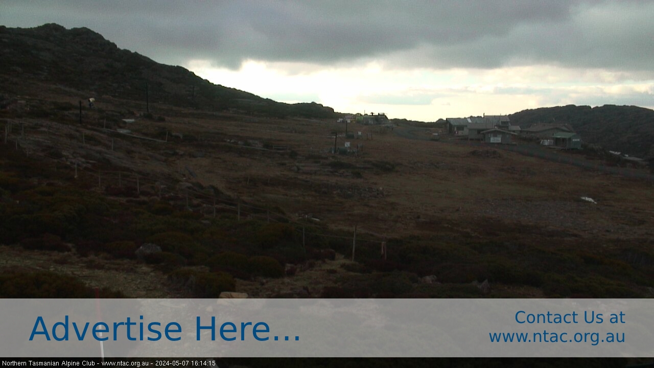
Northern Tasmania - Front Slopes
SATURDAY
Jun 20

51° / 41°

5 - 12
mph
 0
0
SUNDAY
Jun 21

46° / 39°
7 - 15
mph
0
MONDAY
Jun 22
49° / 41°
8 - 16
mph
0
TUESDAY
Jun 23
51° / 43°

10 - 18
mph
0
WEDNESDAY
Jun 24
50° / 44°

15 - 26
mph
0
THURSDAY
Jun 25

55° / 49°

34 - 45
mph
0
FRIDAY
Jun 26
57° / 54°

21 - 32
mph
0
Clear becoming mostly clear at times and then partly cloudy overnight. Periods of rain are expected overnight.
No snow.
Potential Precip:
0.01 to 0.04
Hi: 51°Low: 41°
7,980 feet to 15022 feet
Winds NW at 8 to 16 mph in the morning, becoming variable at 5 to 12 mph in the afternoon, and then SW at 6 to 14 mph overnight.
Partly cloudy becoming mostly cloudy at times continuing through overnight, with periods of rain expected overnight.
No snow.
Potential Precip:
0 to 0.01
Hi: 46°Low: 39°
7,514 feet to 11864 feet
Winds variable at 5 to 13 mph in the morning, becoming SW at 7 to 15 mph in the afternoon, and then variable at 4 to 12 mph overnight.
Partly cloudy becoming mostly cloudy overnight continuing through overnight, with windy conditions at times.
No snow.
No precipitation expected.
Hi: 49°Low: 41°
9,445 feet to 11282 feet
Winds variable at 4 to 12 mph in the morning, becoming NE at 8 to 16 mph in the afternoon, and then E at 6 to 14 mph overnight.
Mostly cloudy becoming partly cloudy in the late morning and then mostly clear overnight. Expect windy conditions at times.
No snow.
No precipitation expected.
Hi: 51°Low: 43°
11,463 feet to 12100 feet
Winds E at 6 to 14 mph in the morning, becoming E at 10 to 18 mph in the afternoon, and then variable at 7 to 15 mph overnight.
Mostly clear becoming partly cloudy at times continuing through overnight.
No snow.
Potential Precip:
0 to 0.01
Hi: 50°Low: 44°
12,141 feet to 12818 feet
Winds variable at 15 to 26 mph through the day, becoming NE at 18 to 29 mph overnight.
Mostly cloudy becoming cloudy in the late morning continuing through overnight, with periods of rain developing in the morning through overnight.
No snow.
Potential Precip:
0.25 to 1.27
Hi: 55°Low: 49°
12,029 feet to 13262 feet
Winds variable at 34 to 45 mph through the day, becoming NW at 24 to 35 mph overnight.
Mostly cloudy becoming clear at times continuing through overnight, with periods of rain expected in the morning through afternoon.
No snow.
Potential Precip:
0.02 to 0.09
Hi: 57°Low: 54°
12,756 feet to 13298 feet
Winds NW at 21 to 32 mph through the day, becoming W at 13 to 24 mph overnight.
 Sunrise & Sunset

Lunar Calendar


 Mid-Mountain


